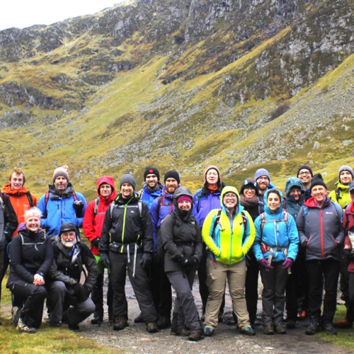
We are an organisation comprising archaeologists, botanists, civil engineers, geographers, geologists, soil scientists, zoologists and others interested in research into the problems of the Quaternary.
Join the QRA
Membership is open to anyone interested in the advancement of education and research into the Quaternary period.
The Association currently has around 1000 members from academic, non-academic and industry backgrounds. We organise a range of field meetings, workshops and discussion events related to any aspects of Quaternary Science and run an extensive grant scheme for members
A range of membership options are available.
Membership benefits
- Free access to Journal of Quaternary Science
- Extensive Grant scheme for all members
- Reduced registration fees to attend field & discussion meetings
- Discounts on QRA publications (field and technical guides)
- Access to current & archive issues of the Quaternary Newsletter
- Inclusion on mailing lists for Quaternary-related research & jobs
- Access to a diverse community including research groups

About us
The QRA was founded in 1964 as the Quaternary Field Study Group and became the Quaternary Research Association in 1968.
Today, the QRA has an international membership of over 1000 people, with a large and thriving postgraduate student body.
The QRA has an active meetings programme, conducts a range of outreach talks & events, and has a strong focus on geoconservation & protection of Quaternary sites.

Access our Quaternary Newsletter
We are now offering everyone free to our Quaternary Newsletter (QN). We publish three issues every year featuring articles & reports submitted by QRA members.
Funding and prizes
The QRA provides grants to its members with the aim of promoting high quality Quaternary research, training and dissemination of results, as widely as possible.
The Association operates a number of grant schemes to support research activities by members, especially new researchers and postgraduate students. It also recognises outstanding contributions to Quaternary studies through a series of prizes.

Apply for our membership today
Institutional
£60 / year
- Academic & non-academic organisations allied to Quaternary studies
- Access to all the member benefits listed above
Student
£15 / year
- Full or part time undergraduate and postgraduate students
- Access to all of the member benefits listed above
